
German Flag
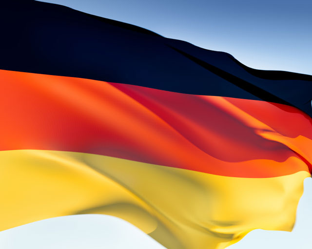 The first flag of Germany was adopted in 1848, at the time when Germany's
feudal states were in the process of trying to unite. Although the
union never occurred, a flag comprising equal widths of black, red, and
gold was established. The three colors were the same colors that
appeared on the uniforms of German soldiers during the Napoleonic wars.
The first flag of Germany was adopted in 1848, at the time when Germany's
feudal states were in the process of trying to unite. Although the
union never occurred, a flag comprising equal widths of black, red, and
gold was established. The three colors were the same colors that
appeared on the uniforms of German soldiers during the Napoleonic wars.
 When the states were finally united in 1871, the colors were replaced
with black, white, and red. However, after a German republic was
finally declared in 1919 following their defeat in World War I, the
black, red, and gold flag returned.
When the states were finally united in 1871, the colors were replaced
with black, white, and red. However, after a German republic was
finally declared in 1919 following their defeat in World War I, the
black, red, and gold flag returned.
However, just a little more than a decade later the flag was retired in favor of the Nazi party flag, which also became the National flag. The end of the war welcomed the tricolor flag once again, but since East and West Germany had been divided, East Germany added its coat of arms. The coat of arms was removed when the East and West reunified, and it finally looks like the original tricolor is here to stay.
Germany Country Profile
Germany is located in central Europe. Its land borders include the Netherlands, Belgium, Luxembourg, and France in the west, Switzerland and Austria in the South, and Poland and the Czech Republic in the east. In the north, Germany is bordered by both the North Sea and Baltic Sea, as well as by a very small portion of Denmark.
 Germany's area of 357,022 square kilometers is divided into four
topographic regions: the Northern Lowlands, the Central Uplands, the
Alpine Foreland, and the Alps. Germany is home to plains with lakes,
moors, marshes, and heaths, as well as hills that include a variety of
streams, rivers, and valleys. High plateaus, woodlands, and some
spectacular mountain ranges make up the rest of the landscape. All
in all, Germany has a lush, varied landscape that is beautiful to look at.
Germany's area of 357,022 square kilometers is divided into four
topographic regions: the Northern Lowlands, the Central Uplands, the
Alpine Foreland, and the Alps. Germany is home to plains with lakes,
moors, marshes, and heaths, as well as hills that include a variety of
streams, rivers, and valleys. High plateaus, woodlands, and some
spectacular mountain ranges make up the rest of the landscape. All
in all, Germany has a lush, varied landscape that is beautiful to look at.
Germany has many rivers including the Rhine River, which runs from Switzerland through Germany and the Netherlands to the North Sea, and is a major route of transportation. Other rivers include the Elbe, Danube, Weser, and Saale, as well as the Ems, Neckar, and Havel. These maps of Germany show Germany's location in Europe as well as its major cities, highways, and natural features.
The maritime climate of Germany's northwestern and coastal areas is characterized by warm summers and mild but cloudy winters. As you move inland, the climate becomes continental, with warmer summers and colder winters. There is a mountain climate in the alpine regions of the south, as well as some areas in the Central Uplands, which means lower temperatures and more rain. Germany's average yearly temperature is 9 degrees C.
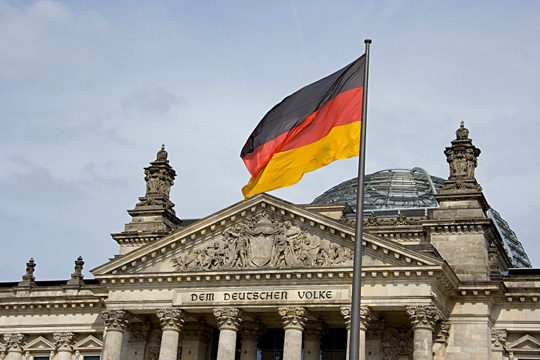
Following World War II, Germany broke into two sectors divided by the Berlin Wall: the democratic Federal Republic of Germany, or West Germany, and the communist German Democratic Republic, or East Germany. In 1990, after four decades, the two countries unified and became once again one democratic country.
Today Germany has more than 82 million inhabitants, making it the most populated country in Europe. The largest and most populated cities in the country include Berlin, Hamburg, Munich, Frankfurt, and Stuttgart.
Germany boasts Europe's largest economy, and is third in the world behind the United States and Japan. The export of goods — specifically cars, machinery, metals, and chemical goods — is one of the main reasons for the country's wealth.
Related German Links
- Germany Facts - information about Germany and its flag.
- Die Bundesregierung - German government Press and Information Office.
- Germany Map - Germany maps, geography, and tourism.
- Germany News - news articles and facts about Germany.
All rights reserved. About us.